|
Day 1 (Thursday, September 5)
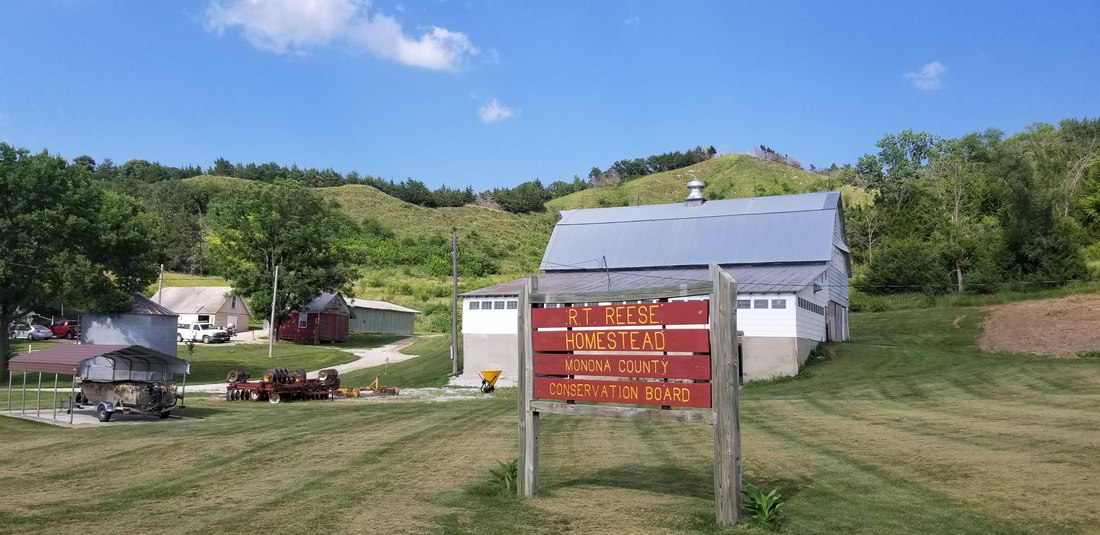
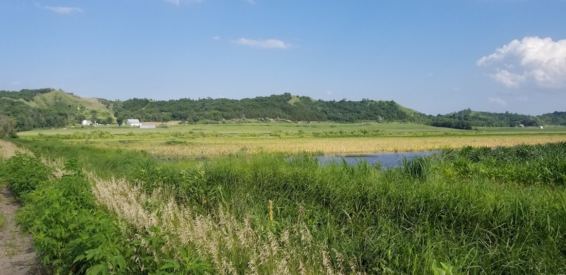
The ride will begin at Lewis & Clark State Park, located along Blue Lake in western Monona County. The first day will begin with a flat route on the wide Missouri River floodplain. Crossing Interstate 29, riders will pass through Monona County's seat and largest city, Onawa. To avoid busy highway traffic, the route turns northeast out of town on County Highway L12 for several miles, before turning south on Larpenteur Memorial Road (L14) where it crosses the Little Sioux River. This road follows the base of the bluffs for several miles. At RT Reese Homestead, Monona County Conservation Board Naturalist will have a program for riders to learn about the Loess Hills. From the Reese Homestead, you'll once again follow the base of the Loess Hills south into the unincorporated community of Turin. Turin is known for an archaeological site where 6,000-year-old human remains were discovered in the 1950's. From Turin, you’ll continue south on towards county road E54. This road passes by the historic Danish Ingemann Church and cemetery and into the town of Moorhead. Moorhead is home to the Loess Hills Hospitality Association Visitor Center. From Moorhead, the route turns southwest along the Soldier River Valley. This will include an optional stop stop at Preparation Canyon State Park, just to the west of Highway 183. A few miles past Preparation Canyon you'll enter Harrison County, and soon the town of Pisgah. Pisgah is home to the Loess Hills State Forest Headquarters and Visitor Center. The Old Home Fill'r up and Keep on Truckin' Cafe is a great lunch stop, featured in a song and TV commercial from the 70's. From Moorhead, the route follows the scenic Soldier River valley and Highway 183 into Pisgah and the Loess Hills State Forest Headquarters. The building will be open for restrooms and water, and riders can set up tents on the lawn around the building. See the map below for the route or click here to open in a new window. |
|