|
For information about the Loess Hills Parks & Peaks Bicycle Tour, click here.
The Loess Hills National Scenic Byway corridor offers a variety of bike trails and routes. Woodbury County: The Sioux City area has several paved biking trails. The Siouxland Trails Foundation is working to develop a more regional trail system. Plymouth County: Several on-road routes are available through the Loess Hills in Plymouth County. Le Mars also has a trail. The planned PlyWood trail will connect Sioux City and Le Mars. Monona County: Several on-road routes are available through the Loess Hills in Monona County. Harrison County: Several on-road routes are available through the Loess Hills in Harrison County. Harrison County is starting to develop a countywide trail plan. Pottawattamie County: Council Bluffs has a paved trail system throughout much of town. The city's trails link across the river into the Omaha metro trail system. The Wabash Trace Nature Trail also connects with Council Bluffs' trails. The Pottawattamie County Trails Association is constructing and planning for a countywide multi-use trails system. Mills County: Several on-road routes are available through the Loess Hills. Residents are working to implement a countywide trail plan. Mills County also has a County Trails Board developing trails across the county. Fremont County: Several on-road routes are available through the Loess Hills in Fremont County. The county is currently working on a comprehensive countywide trail plan. Other bike resources:
|
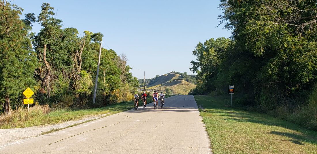
Larpenteur Memorial Road, Monona County
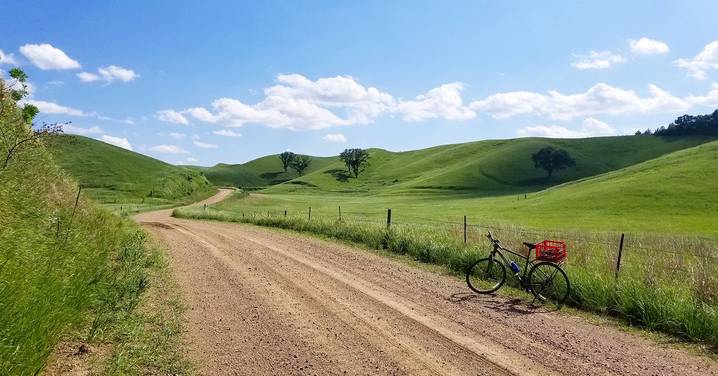
Nutmeg Avenue in Monona County. Photo by Lance Brisbois.

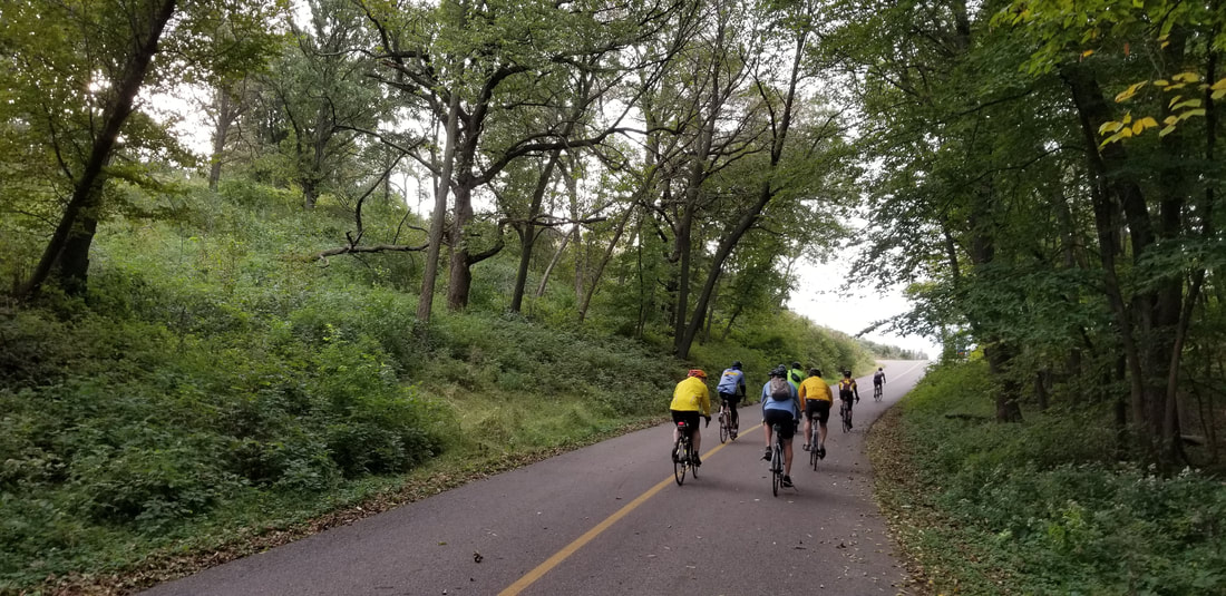
Wabash Trace Nature Trail in Mills County. Photo by Pat Schoening.
Stone State Park, Woodbury County. Photo by Lance Brisbois.
|